Wildlife Viewing Area Maps
Explore with the diverse wildlife of Arkansas.
We are delighted to offer a collection of downloadable maps that will guide you to some of the most remarkable wildlife viewing areas in our state. Whether you’re an avid birdwatcher, a nature photographer or simply appreciate the beauty of wildlife in their natural habitats, our maps will lead you to prime locations where you can observe and appreciate Arkansas’s incredible biodiversity. Get ready to embark on unforgettable journeys as you explore these specially designated areas, capturing glimpses of rare species and connecting with the awe-inspiring natural world around us.
| Map Name | Download Link |
|---|---|
| Arkansas Post Water Trail Map | Download |
| Arkansas River Water Trail Map | Download |
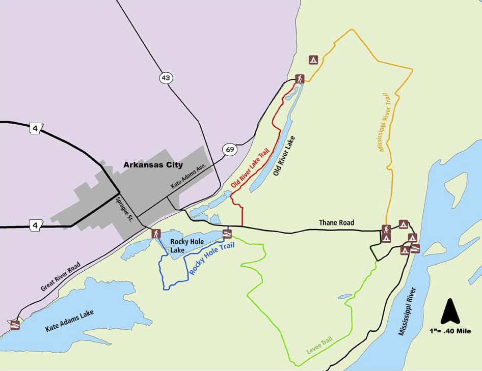
| Bayou Bartholomew Overview Map | Download |
| Bayou DeView Water Trail | Download |
| Big Creek Natural Area Boundary Map | Download |
| Big Creek Natural Area County Locator | Download |
| Bufflehead Bay Trailhead | Download |
| Camp Robinson SUA Woodlands Auto Tour | Download |
| Cane Creek Access | Download |
| Crooked Creek Water Trail | Download |
| Dr. Curtis Merrill Access | Download |
| Felsenthal NWR Water Trails | Download |
| Freddie Black Choctaw Island Wildlife Management Area and Deer Research Area East Unit Watchable Wildlife Trails | Download |
| Grassy Lake Water Trail | Download |
| Gulf Mountain WMA Post Oak Savanna Nature Trail and Auto Tour Map | Download |
| Islets Cove Paddle Trail | Download |
| Kenny Vernon Nature Trail and Bell Slough Wildlife Management Area Map | Download |
| Kings River Overlook Nature Trail Panel | Download |
| Little Bayou WMA Access | Download |
| Little Maumelle River Water Trail Map | Download |
| Loon Point / Farkleberry Trail | Download |
| Robe Bayou Dagmar Water Traihead | Download |
| Wattensaw Bayou Water Trail Map | Download |