Sharp County
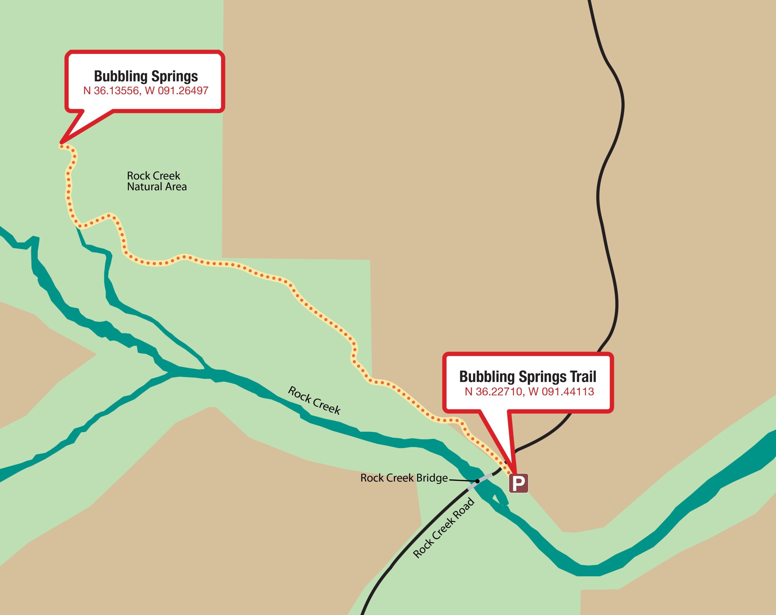
Bubbling Springs Nature Trail on Harold E. Alexander Spring River WMA
From Highway 58 in Sitka (Sharp County), turn west on Rock Creek Road and travel 3.2 miles. Cross the bridge over Rock Creek and turn right into the parking area. The trail begin across the road.
Quick Facts
Maps
Important Numbers
Sharp County EMS
911
Sharp County Sheriff’s Office
870-994-7329
Stop Poaching Hotline
833-356-0824


Distances
Bubbling Springs Nature Trail is a moderate 1.2-mile, out-and-back hike.
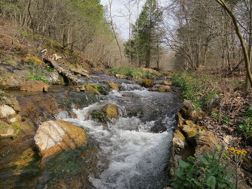
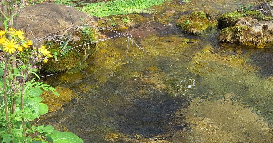
Harold Alexander Spring River Wildlife Management Area covers 13,939 acres of upland hardwood forest and glades in the Ozark highlands. The Spring River flows along the eastern edge of the WMA, and three of its tributaries run through it—Rock, Ott and Pierce creeks. Groundwater from seeps feeds the creeks.
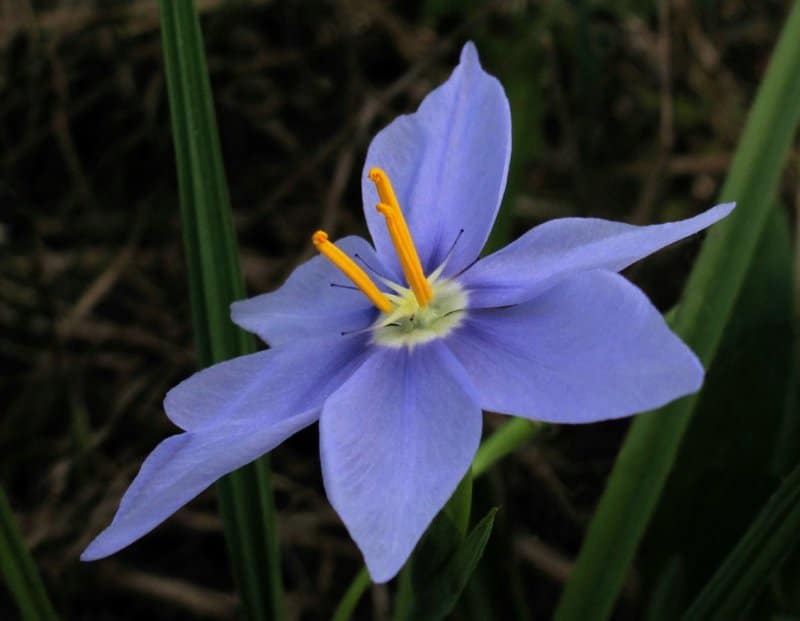
Rock Creek Natural Area’s 415 acres, managed by the Arkansas Natural Heritage Commission, are embedded in the WMA. Rare plants and animals, native grasses and prairie wildflowers live in several dolomite glades along the creek. Glades are dry, hot, sunny openings in woodlands with shallow, rocky soils and exposed bedrock. Some of the tough plants that live here, such as prickly pear cactus, are associated with deserts. Eastern red cedar trees have choked out native plants on glades after years of fire suppression. Look for signs of cedar tree removal as restoration and management continues.
Hunters pursue deer, bear, turkey and small game on the area. Furbearer trapping is permissible on the WMA. Check the current Arkansas Hunting Guidebook for details, and wear hunter orange when appropriate. Leash pets for their safety.