Clark County
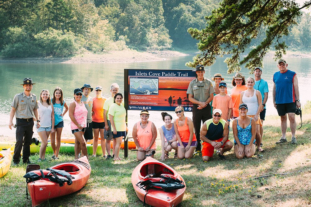
Islets Cove Paddle Trail
From I-30, take Highway 7 north (exit 78) just 6 miles or, from Hot Springs, Highway 7 south 21 miles to the state park entrance. Follow park signs to the marina. Trailhead is beside the marina boat ramp.
Quick Facts
- Download the free Avenza Map app from the App Store on mobile device.
- Choose a trail and tap on the geo-referenced map.
- Tap on the map again and choose “Open in Avenza Maps” or choose “More” and tap on the Avenza Map icon.
- Map is saved in Avenza Map app.
- A blue dot marks your location on the map.
- The trail map uses the phone’s GPS. If cell reception is poor, put phone on airplane mode to conserve power.
- Download the free Avenza Map app from the App Store on mobile device.
- Choose a trail and tap on the geo-referenced map.
- Tap on the three dots in the upper-right corner.
- Choose “Send File” and tap the Avenza Map icon.
- Map is saved in Avenza Map app.
- A blue dot marks your location on the map.
- The trail map uses the phone’s GPS. If cell reception is poor, put phone on airplane mode to conserve power.
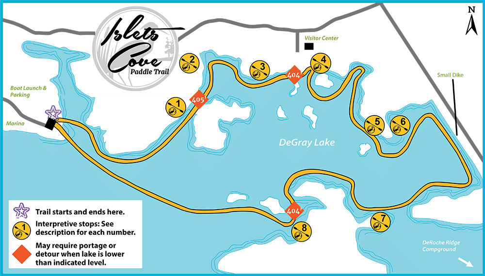
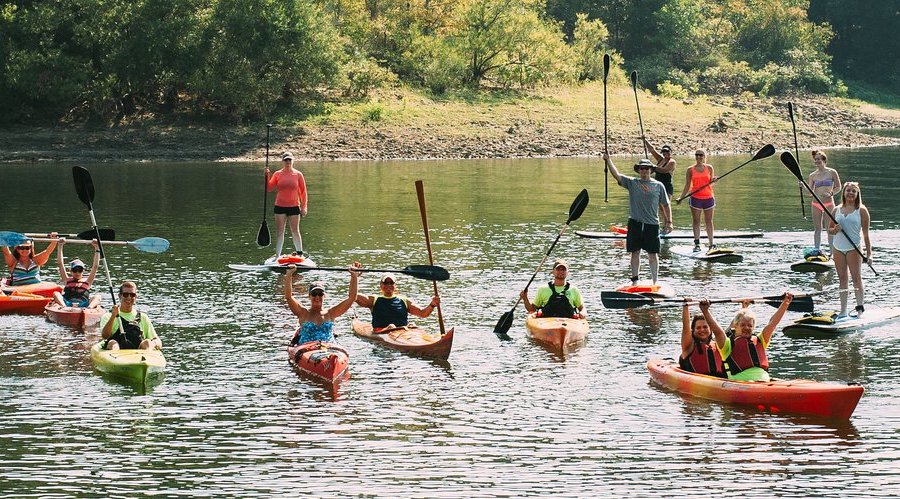
For an optimal experience, follow the yellow signs posted along the shoreline that are indicated on the map. Rent kayaks, canoes or stand-up paddleboards at the DeGray Lake Resort State Park marina. Visit degray.com.
Water Trail Length
The trail is approximately 3 miles long; allow at least two hours.
Emergency Numbers
Clark County EMS
911
Clark County Sheriff
870-246-2222
Degray Lake Resort State Park
501-865-5840
Stop Poaching Hotline
833-356-0824
As a flood control project of the U.S. Army Corps of Engineers, the level of DeGray Lake may fluctuate by as much as 20 feet a year. The lake is fed by the Caddo River and surrounding watershed. Water is released at varying rates through the dam for generating hydroelectric power, maintaining flow of the lower Caddo River, and controlling the lake level. Generally the lake is highest around early to midsummer following spring showers, and is lowest in late fall.
DeGray Lake is a great location to spot bald eagles, especially during the winter months. The state park hosts the Eagles Et Cetera festival each January to celebrate eagles as well as other birds of prey, song birds, waterfowl, conservation practices and general lake ecology and health.
While paddling the lake, be on the lookout for great blue herons, green herons, Canada geese, common loons, coots, pied-billed grebes and osprey.
Anglers pursue crappie, bream, black bass, catfish and hybrid striped bass on DeGray Lake. Check AGFC fishing regulations.
A large portion of the lake, islands, and surrounding federal land is open to hunting during the appropriate seasons with a license. However, firearms of any sort are not permitted within State Park borders. Islands can become extensions of the park when the lake is low. Keep this in mind if duck hunting around these islands near the state park. Check DeGray Lake WMA for hunting regulations.
DeGray Lake Resort offers a 90-room lodge with a conference center just off shore and on an island; 113 campsites (25 Class AAA, 82 Class B, 6 primitive, and 3 yurts).
According to Arkansas law, children 12 and under must wear a Coast Guard-approved life jacket and anyone on a boat must have one ready to use. Vessels 16 feet and longer must have a throwable life preserver (type IV) aboard. Glass containers are illegal in boats such as canoes and kayaks that can be easily swamped. Paddlers must securely fasten cooler lids, and use attached, closeable trash containers and put beverages in floating holders.