Quick Facts
Maps
- Apple Lake Birding Trail Map
- Mud Slough Birding Trail Map
- Bayou DeView/Robe Bayou Water Trails Georeferenced Map
Georeferenced Map Instructions
- Download the free Avenza Map app from the App Store on mobile device.
- Choose a trail and tap on the geo-referenced map.
- Tap on the map again and choose “Open in Avenza Maps” or choose “More” and tap on the Avenza Map icon.
- Map is saved in Avenza Map app.
- A blue dot marks your location on the map.
- The trail map uses the phone’s GPS. If cell reception is poor, put phone on airplane mode to conserve power.
- Download the free Avenza Map app from the App Store on mobile device.
- Choose a trail and tap on the geo-referenced map.
- Tap on the three dots in the upper-right corner.
- Choose “Send File” and tap the Avenza Map icon.
- Map is saved in Avenza Map app.
- A blue dot marks your location on the map.
- The trail map uses the phone’s GPS. If cell reception is poor, put phone on airplane mode to conserve power.

Trail Information
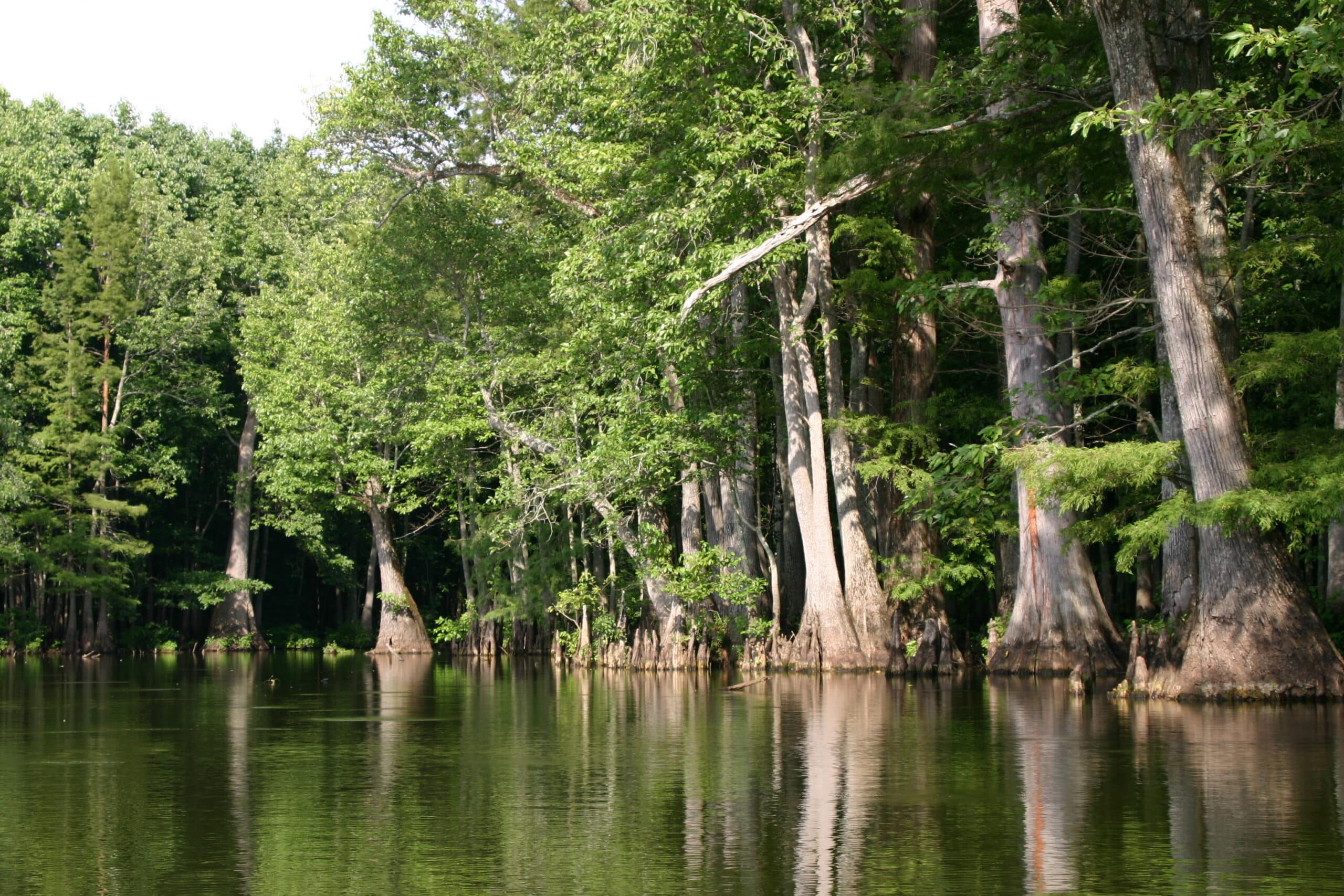
The Big Woods
The deep forests of the Mississippi River Delta once blanketed 24 million acres. It was the largest expanse of forested wetlands in North America. As trees were harvested, cotton, rice and soybean farming took root in the early 20th century. Rivers were harnessed for flood control, irrigation and navigation. Fewer than 5 million acres of these forests remain in Arkansas, Mississippi and Louisiana, including 550,000 acres in Arkansas known as The Big Woods.
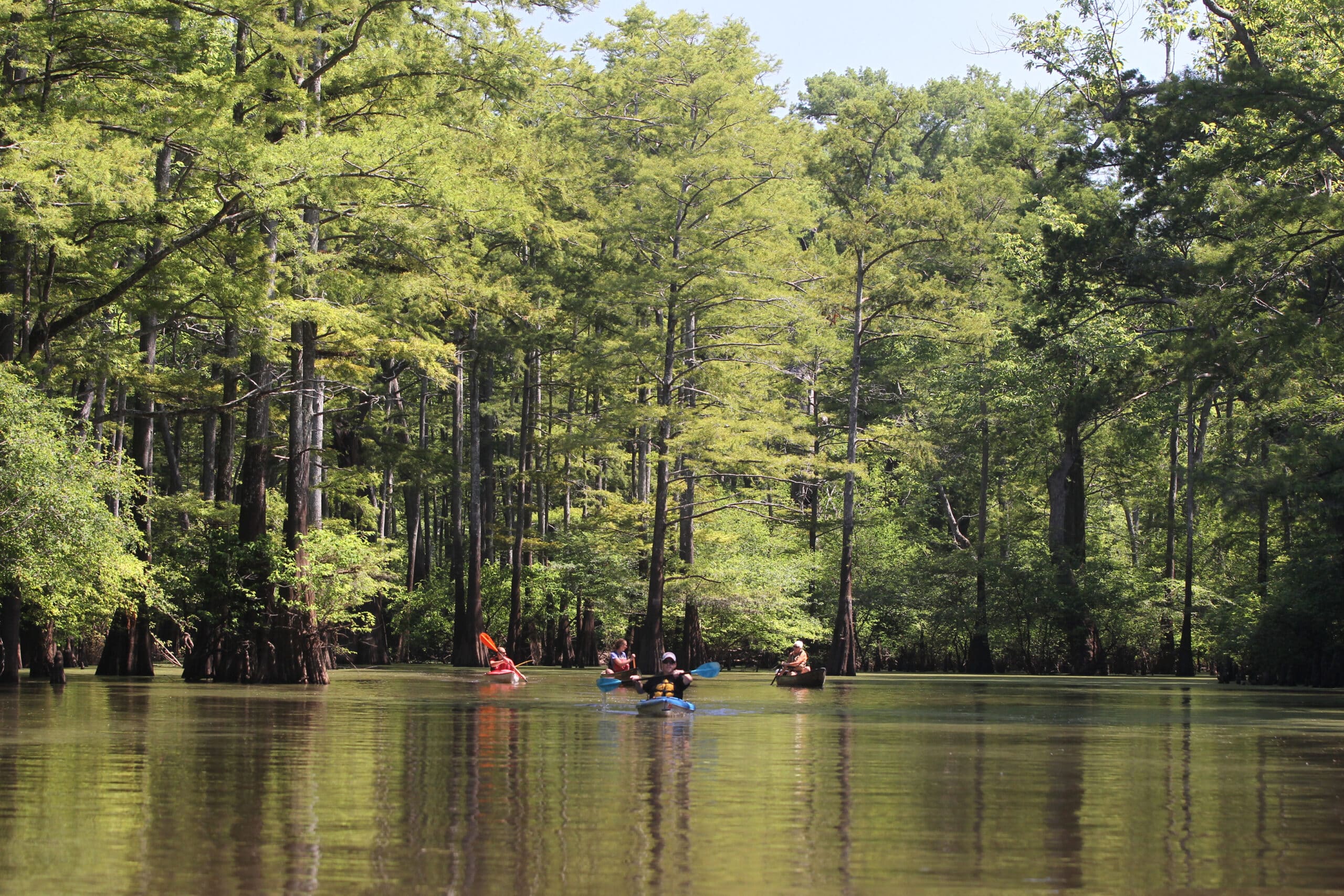
Apple Lake Birding Trail
Enjoy a 2.3-mile, out-and-back path along Apple Lake’s levee (foot traffic only). Be on the lookout for waterfowl, wading birds, raptors, woodpeckers and songbirds. The levee is mowed infrequently; be prepared with bug spray and sturdy shoes. Areas where waterfowl rest and feed are critical; the trail is closed Nov. 1-Feb. 15.
Mud Slough Birding Trail
Enjoy a 2.7-mile, out-and-back path along Mud Slough’s levee (foot traffic only). Be on the lookout for waterfowl, wading birds, raptors, woodpeckers and songbirds. The levee is mowed infrequently; be prepared with bug spray and sturdy shoes.
Important Numbers
Monroe County Sheriff
911
Stop Poaching Hotline
833-356-0824
AGFC Brinkley Office
501-235-3464
The Big Woods
The deep forests of the Mississippi River Delta once blanketed 24 million acres. It was the largest expanse of forested wetlands in North America. As trees were harvested, cotton, rice and soybean farming took root in the early 20th century. Rivers were harnessed for flood control, irrigation and navigation. Fewer than 5 million acres of these forests remain in Arkansas, Mississippi and Louisiana, including 550,000 acres in Arkansas known as The Big Woods.
Ivory-billed Woodpecker
Reported sightings of ivory-billed woodpeckers in 2004 triggered a massive search for the bird — believed to be extinct at the time — in The Big Woods, although irrefutable evidence of its existence has not been discovered. The big woodpeckers once were found in mature bottomland hardwood forests of the southeastern U.S. and Cuba, although their habitat was scarce by the 1930s.
Anglers fish for bass, bream, catfish and crappie. Click here for fishing regulations.
Hunters pursue deer, waterfowl and small game on the area. Wait until midday to paddle the trail during waterfowl hunting season. Click here for details, and wear hunter orange when appropriate. Leash pets for their safety.
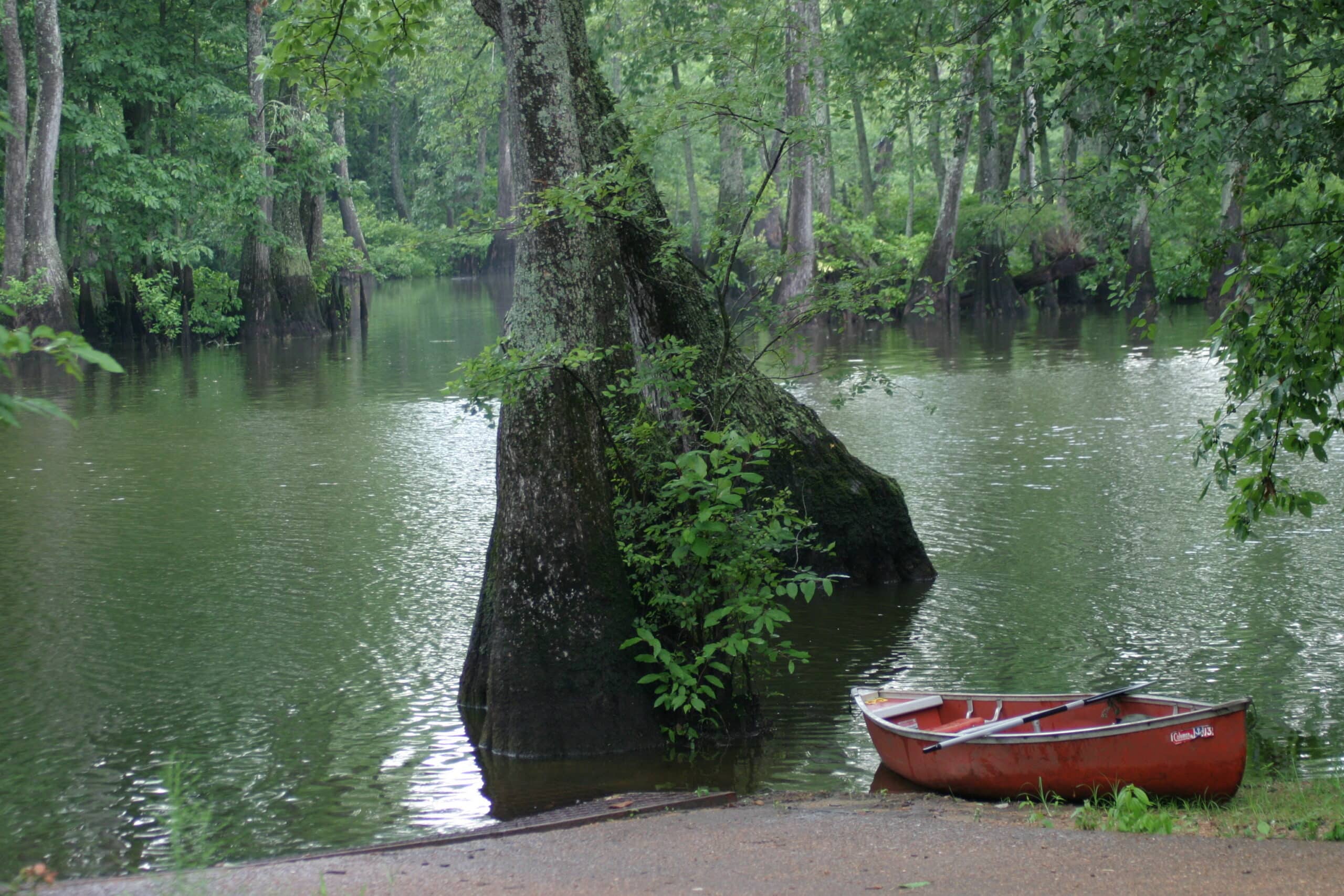
Primitive camping (no water, sewer or electricity) is permitted at designated campsites. All sites are first-come, first-served. A hunting or fishing license or AGFC Camping Permit is required to camp. Click here to learn more.
Check out the nearby Bayou DeView and Robe Bayou water trails.