Lake Conway water level crests, Palarm Creek receding
ON 06-07-2019
June 7, 2019
Randy Zellers
Assistant Chief of Communications
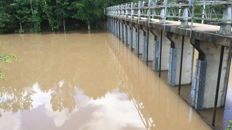
MAYFLOWER – At 10 a.m. this morning (June 7, 2019), Craig D. Campbell Lake Conway Reservoir crested at 267.97 feet above mean sea level, 5 feet above its normal elevation. The water level within Palarm Creek, which was coming into the lake, has now fallen enough for AGFC staff to open the gates and begin evacuating water. Baring any major rain events, it will still take several days for the lake to drop below flood stage (266.0 feet msl).
Although the exact level of flooding was not predictable, AGFC staff managed to lower the lake level one foot from its normal elevation before the high water on the river occurred.
Although boating is allowed on Lake Conway, extreme caution should be used, as the water may have pushed logs and other debris into existing boat lanes. The high water also may be hiding stumps and other submerged structures just under the surface, causing additional boating hazards. The AGFC asks people to be mindful of potential hazards and how boat wakes could impact adjacent property during high water.
Updates related to the flood threat around Lake Conway will be provided as conditions change and new information becomes available. Questions related to Lake Conway’s water level should be directed to the Arkansas Game and Fish Commission’s Fisheries Office in Mayflower at 501-470-3309.
Recent News
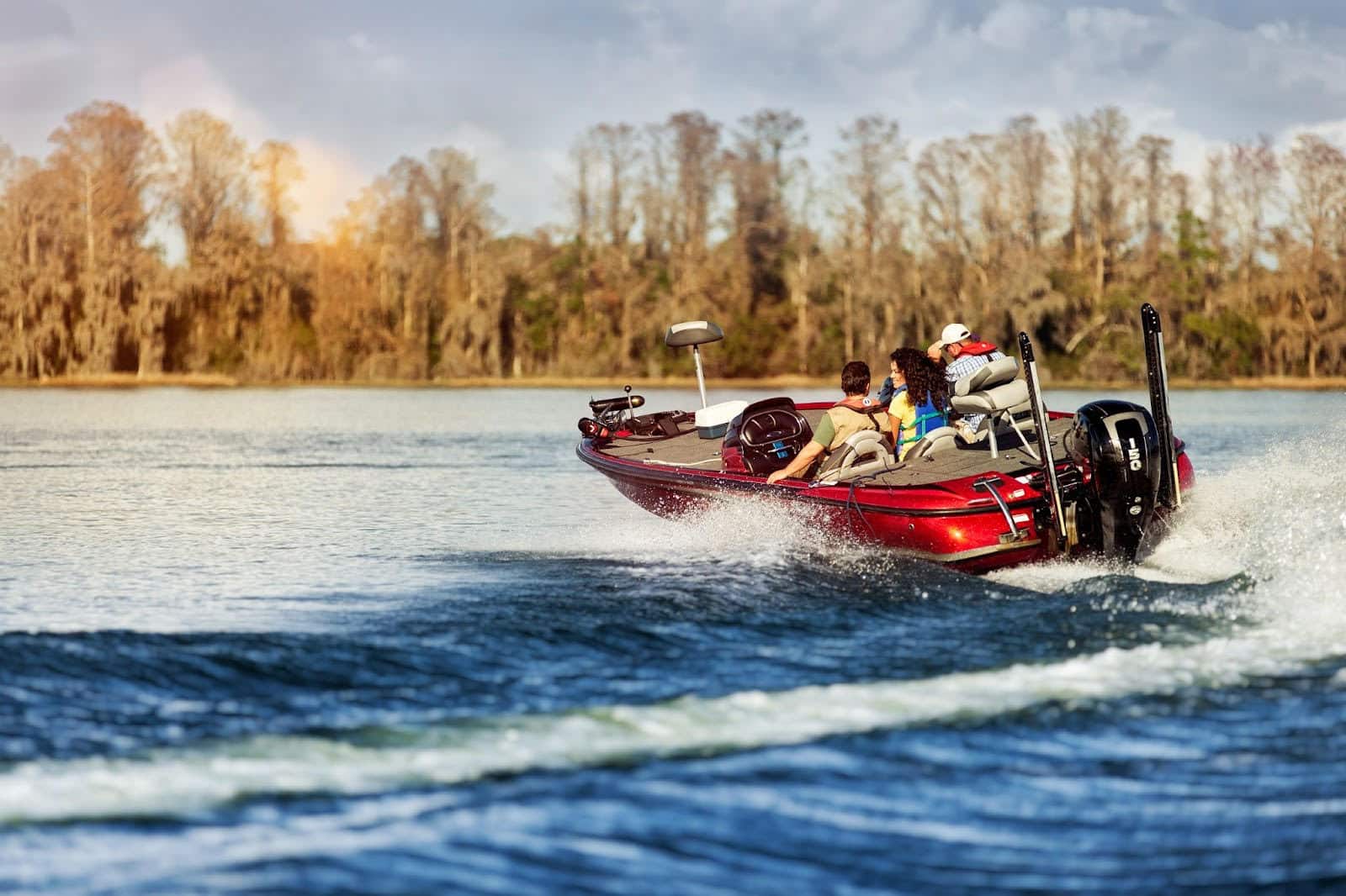
Watch your wake
Jul. 2, 2025

Subscribe to Our Weekly Newsletter E-mails
Don’t miss another issue. Sign up now to receive the AGFC Wildlife Weekly Newsletter in your mailbox every Wednesday afternoon (Waterfowl Reports are published weekly during waterfowl season and periodically outside the season). Fishing Reports arrive on Thursdays. Fill in the following fields and hit submit. Thanks, and welcome!