Greenbrier, Beebe ponds join AGFC Family and Community Program roster
BY Jim Harris
ON 08-05-2020
Aug. 5, 2020
Jim Harris
Managing Editor Arkansas Wildlife Magazine

LITTLE ROCK – Two locations have been added to the lineup of ponds in the Arkansas Game and Fish Commission’s Family and Community Fishing Program, bringing the total number of ponds statewide to 49. Also, a new Geographic Information System mapping tool has been added to the AGFC’s website that will make it easy to find all 49 statewide ponds.
“We’re expanding the program and creating more opportunities for the public as far as the agency’s mission statement of providing more outdoor opportunities for everyone,” Maurice Jackson, the FCFP program director, said. “Twenty years ago we only had three ponds in this program.”
Matthews Park Pond in Greenbrier and Beebe Community Pond are the new additions.
“Greenbrier is a new pond, it was just recently dug up out of the ground,” he said. “It has handicap-accessible piers. It’s nice. It’s located on 55 acres. The city of Greenbrier built it, and it’s 12 minutes from Conway. That’s why we’re so happy to be in that location. We only had one location in Faulkner County previously; we could use two more. That’s one of the fastest-growing areas in the state.
“The area around Beebe, like Greenbrier, is also fast-growing. We’re glad to have a pond there as part of our program, too, to provide more family fishing opportunities.”
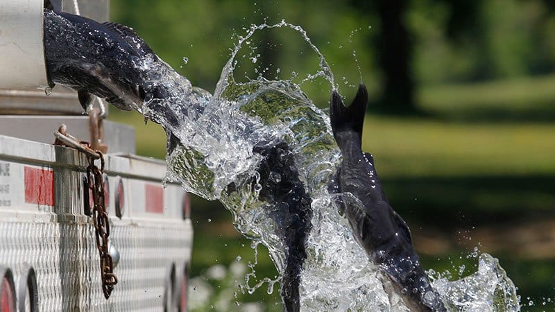
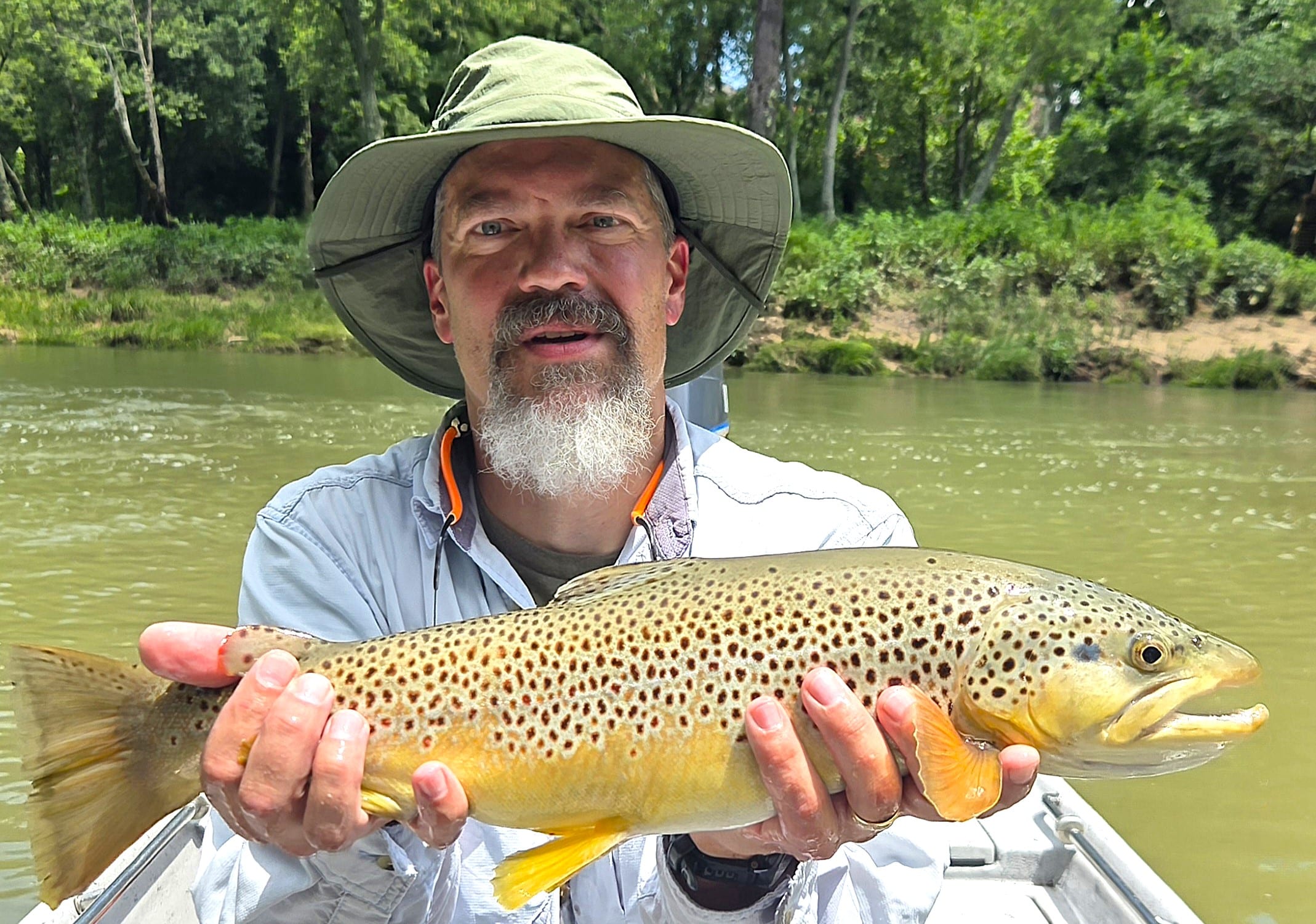
Matthews Park’s 55 acres will also include a skate park, splash pad, restrooms, pavilion and walking trails. The area around Beebe’s pond is currently being developed, Jackson said, but the pond is open for fishing. Those ponds and the rest of the FCFP roster of fishing locations will be stocked with tablefare-size catfish in September. Many are stocked with meal-size trout during the cold-weather months, November through February.
All FCFP ponds can be found through the pond locator on the website, agfc.maps.arcgis.com/apps/Shortlist/index.html?appid=1e5b360e186f47bf9a8ff1d46077396a. Paige Lott, a GIS analyst with the AGFC, designed the app, Jackson said. The site includes information and photos of all of FCFP ponds and a mapping link with directions that can be used with smartphones and laptops.
“We’ve never had anything like this. I remember when I first started, a lot of times I’d be going to one of our ponds and I’d be driving around and couldn’t find it,” Jackson said. “This system eliminates a lot of the extra steps people had to go through to find our ponds in the past. A lot of the ponds don’t have a physical address. This will take anyone right there. They are all mapped by their coordinates. We’ve been working on this since spring.”
Recent News
Arkansas Wildlife Weekly Fishing Report
Jul. 3, 2025
Subscribe to Our Weekly Newsletter E-mails
Don’t miss another issue. Sign up now to receive the AGFC Wildlife Weekly Newsletter in your mailbox every Wednesday afternoon (Waterfowl Reports are published weekly during waterfowl season and periodically outside the season). Fishing Reports arrive on Thursdays. Fill in the following fields and hit submit. Thanks, and welcome!