Increased Arkansas River level may result in flooded homes around Lake Atkins
BY agfc
ON 05-28-2019
May 28, 2019
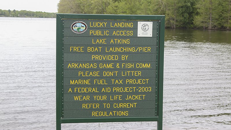
ATKINS — As the Arkansas River continues to rise to record levels at Arthur V. Ormond Lock and Dam, the Arkansas Game and Fish Commission warns all residents around Lake Atkins in Pope County to prepare for possible flooding from the lake if conditions worsen.
Portions of Arkansas State Highway 105 on the south side of the lake already have been closed due to flooding. The spillway of Lake Atkins flows into Horsehead Branch, which connects to the Arkansas River roughly 3 miles downstream. As the Arkansas River rises, it can flow backward up Horsehead Branch, preventing any water release from the lake. If the Arkansas River at the Morrilton gauge (https://water.weather.gov/ahps2/hydrograph.php?wfo=lzk&gage=mora4) exceeds 42 feet, there is a good possibility that Horsehead Branch could flow backward over the spillway, adding floodwater to the lake. Combined with the forecast for up to 2 inches of rainfall, this could lead to flooding around the lake, particularly the North Shore Drive area.
According to the National Weather Service, the Arkansas River is expected to crest at 43 feet at the Morrilton gauge May 31, exceeding historic flood levels. The greatest concern for backflow from Horsehead Branch overtopping Lake Atkins spillway should begin May 29 and continue for the next several days.
Questions related to Lake Atkins should be directed to the Arkansas Game and Fish Commission’s Fisheries Office in Russellville at 877-967-7577.
Recent News

Arkansas Wildlife Weekly Fishing Report
Jul. 10, 2025
Lonoke aquaculturist named to AGFC
Jul. 10, 2025
Subscribe to Our Weekly Newsletter E-mails
Don’t miss another issue. Sign up now to receive the AGFC Wildlife Weekly Newsletter in your mailbox every Wednesday afternoon (Waterfowl Reports are published weekly during waterfowl season and periodically outside the season). Fishing Reports arrive on Thursdays. Fill in the following fields and hit submit. Thanks, and welcome!