Marion County
Crooked Creek Water Trail
Upper Pyatt Access, a primitive launch site, is about a mile upstream of Lower Pyatt Access. It’s on the east side of the U.S. Highway 62 Spur bridge south of Pyatt. Lower Pyatt Access is on the north side of the U.S. Highway 62 bridge over Crooked Creek in western Marion County.
From Snow on U.S. Highway 62 in western Marion County, take Marion County Road 4006 south. Continue on 4006 (bear left at 4007 split) about 1.3 miles and turn left at railroad tracks. Continue about 0.7 miles to access.
From U.S. Highway 62 in western Marion County, turn south on Old U.S. Highway 62/MC 4052 and watch for the Mark Oliver Access sign.
The access is in Yellville City Park, which is reached via Arkansas Highway 14 immediately south of Yellville and U.S. Highway 62.
To reach Kelley’s Slab, turn on Marion County Road 4002 from U.S. Highway 62 at the western edge of Yellville. Continue 1 mile to Crooked Creek. The access is on the east side of the creek at the slab, slightly downstream of the 4002 bridge.
Quick Facts
About
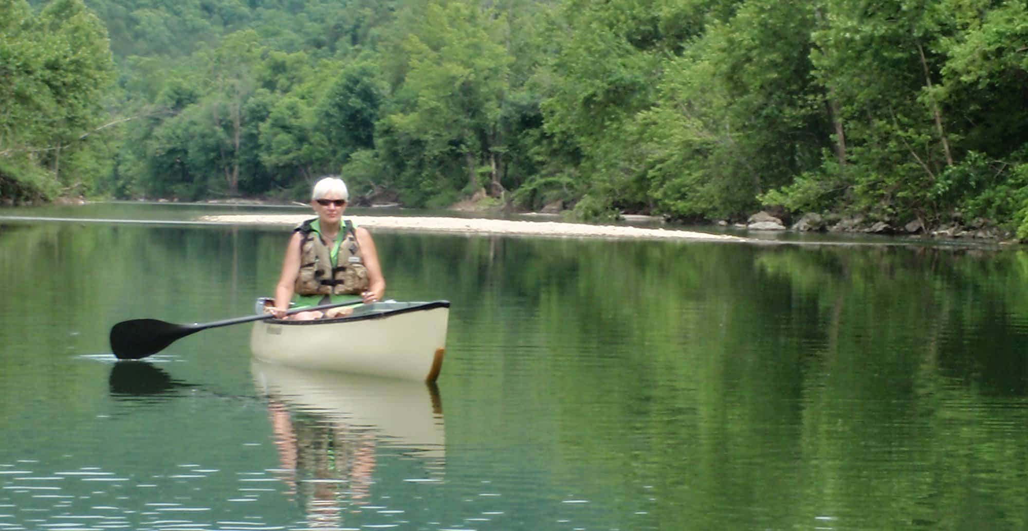
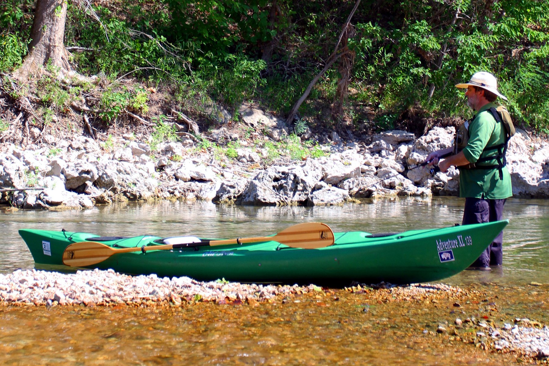
Crooked Creek is known for smallmouth bass fishing but it offers much more for visitors seeking solitude, exploration and a float trip down a river. The Arkansas Game and Fish Commission designated the 22-mile Crooked Creek Water Trail in 2012.
Water Trail Length
- Lower Pyatt Access—Snow Access: 6.7 miles
- Snow Access—Mark Oliver Access: 5.2 miles
- Mark Oliver Access–Kelley’s Slab Access: 6.6 miles
- Kelley’s Slab Access—Yellville Access: 3.5 miles
- Lower Pyatt Access—Yellville Access: 22 miles
Crooked Creek flows east.
Crooked Creek is known for smallmouth bass fishing but it offers much more for visitors seeking solitude, exploration and a float trip down a river. To help anglers, paddlers and wildlife watchers enjoy this Ozark stream, the Arkansas Game and Fish Commission designated the Crooked Creek Water Trail in 2012.
The trail covers 22 miles of the stream – from Lower Pyatt Access to Yellville – although other stretches of the stream may be floated. The water level in the creek depends entirely on rainfall. This peaceful stream can turn into a raging torrent very quickly, especially during heavy spring rains. Paddlers should seek weather and water-level information before beginning a trip.
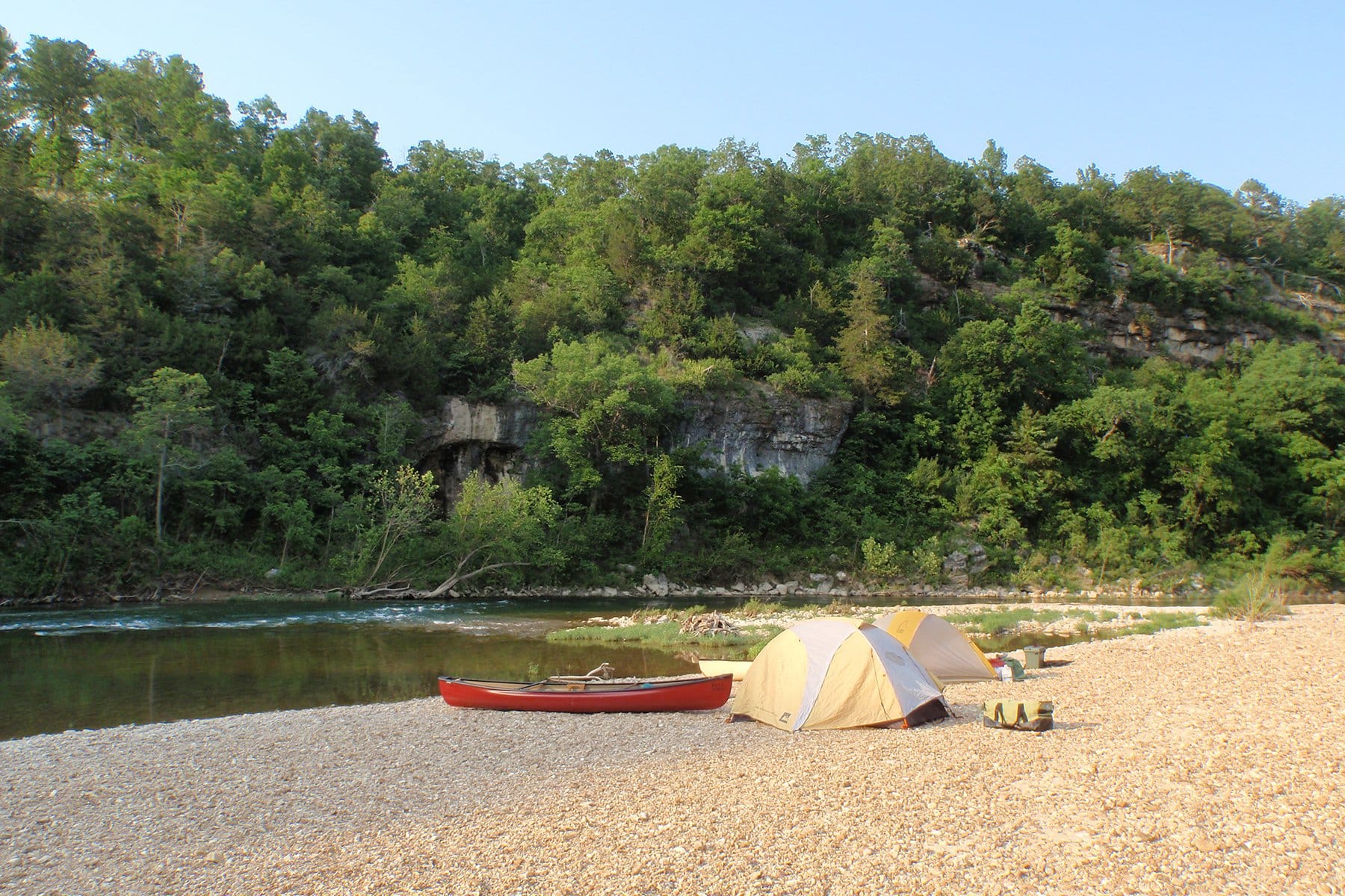
For those planning longer routes, primitive campsites are available at Snow Access and Brooksher Crooked Creek Preserve, which has no access by road. Paddlers also may camp at Fred Berry Crooked Creek Nature Center with permission from the center’s manager. Camping is limited to one night per campsite.
Almost all property along Crooked Creek is privately owned and marked by fences, signs or purple paint. Please respect private property and camp only at designated areas.
Emergency Contacts
Marion County EMS
911
Marion County Sheriff’s Office
870-449-4236
Wildlife Information Hotline
833-345-0398
Fred Berry Crooked Creek Nature Center
870-218-4387
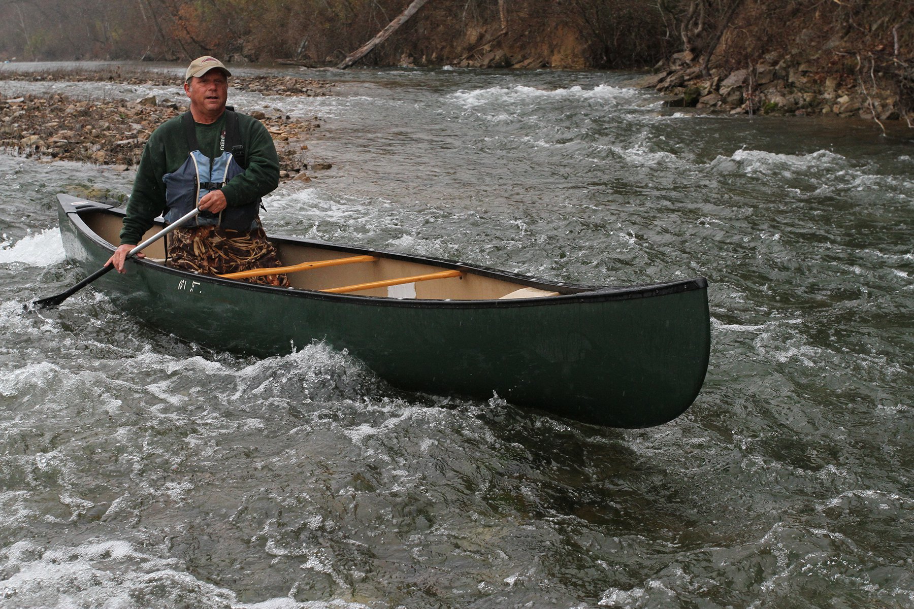
Under normal conditions, paddlers can expect to cover about 2 miles per hour on this stream with deep pools, fast chutes, riffles and small waves. The water level in the creek depends entirely on rainfall. This peaceful stream can turn into a raging torrent very quickly, especially during heavy spring rains. Paddlers should seek weather and water-level information before beginning their trip.
A U.S. Geological Survey gauge reads conditions near Kelley’s Slab at the Fred Berry Crooked Creek Nature Center: https:// waterdata.usgs.gov/. A moderate level for floating the creek is 12-12.5 feet. Use caution at Kelley’s Slab, which can be hazardous under some conditions.
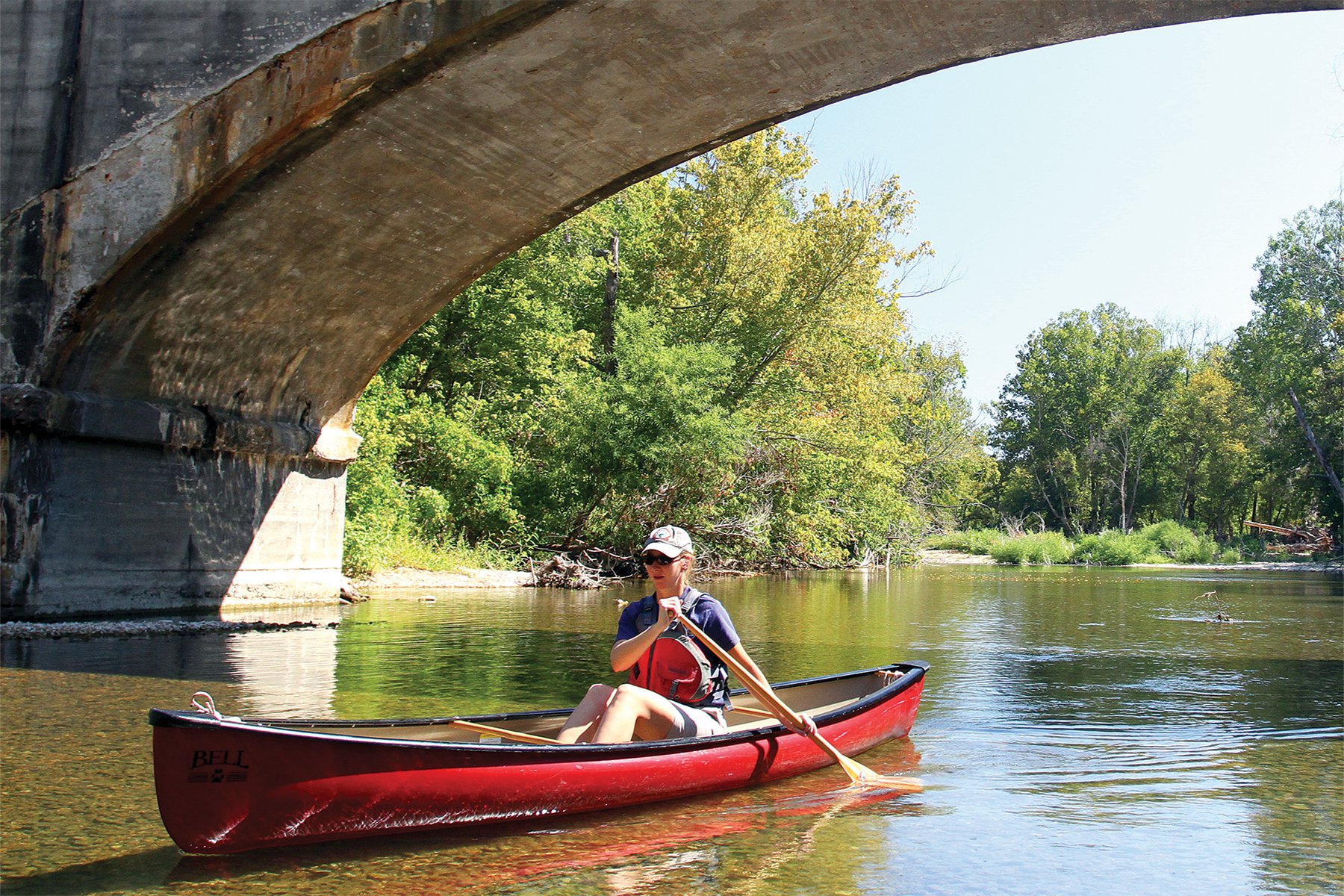
According to Arkansas law, children 12 and under must wear a Coast Guard-approved life jacket and everyone aboard must have one ready to use. Vessels 16 feet and longer must have a throwable life preserver aboard. Glass containers are illegal in boats such as canoes and kayaks, which can be easily swamped. Paddlers must securely fasten cooler lids, and use attached mesh litter bags and floating holders for beverages.
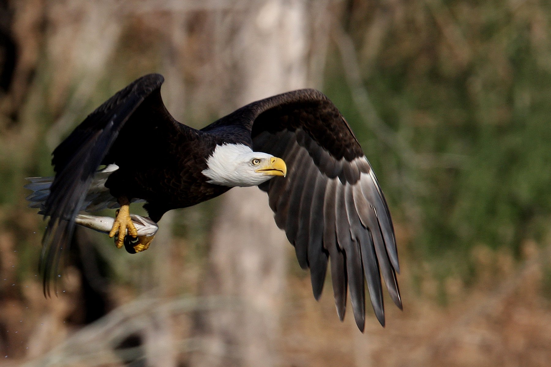
The creek flows through rolling pastureland, cedar glades, bluffs and tree-lined banks. Oak-hickory forests, willow, hackberry, pawpaw, catalpa and black walnut provide habitat for mink, beaver, deer and river otters. Watch for belted kingfishers, ospreys, wood ducks and herons. Bald eagles migrate from fall to early spring; some are year- round residents.
Crooked Creek – a Blue Ribbon Smallmouth Bass Stream – is well known for its feisty smallmouth bass. Crank and spinner baits retrieved across riffles or live bait and soft plastic lures worked in deep holes with large rocks and other structure are recommended. The creek is home to largemouth bass, Ozark bass, green sunfish, bluegill and catfish.
The Fred Berry Crooked Creek Nature Center covers 421 acres along a 2.75-mile bend of the creek. The center includes interpretive trails, outdoor and indoor learning areas, and access to the creek.