Faulkner County
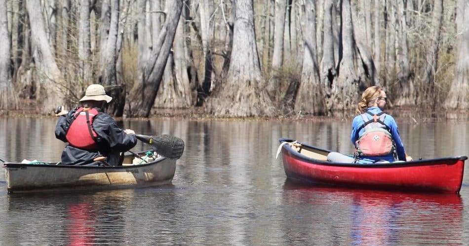
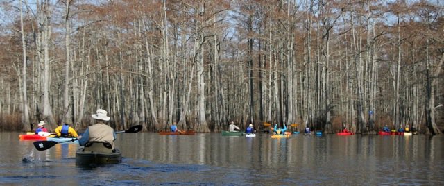
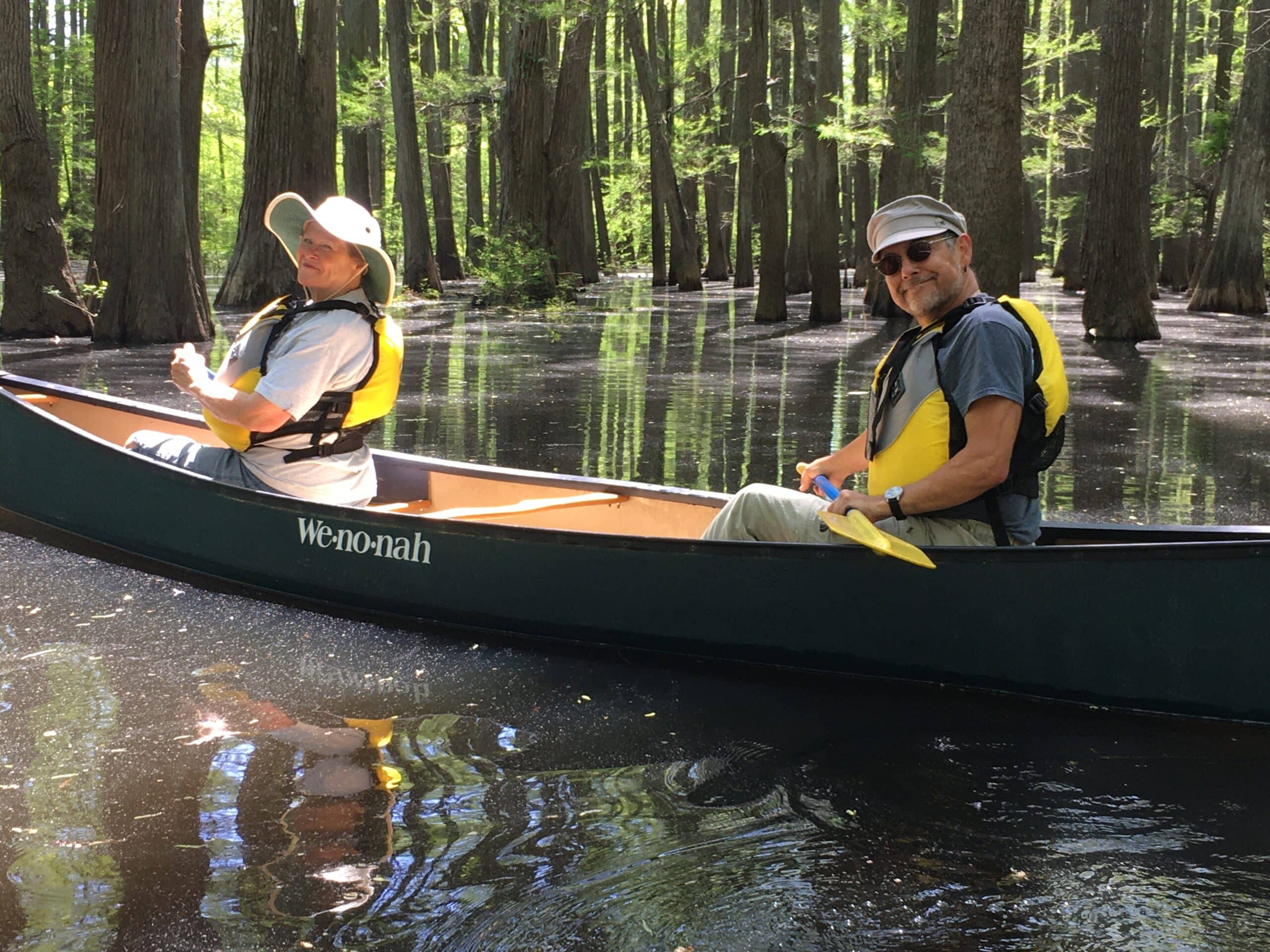
Grassy Lake Water Trail
- From Interstate 40 Exit 135 at Mayflower, turn south on Interstate Drive, immediately east of the exit.
- Continue on Interstate Drive past Gibson Bridge Road and over Palarm Creek, to Bell Slough Wildlife Management Area (1.5 miles total).
- Continue 0.7 miles on Grassy Lake Road and veer left.
- Travel 0.8 miles and turn left on Grassy Lake Road.
- Continue 0.3 miles; turn left.
- Veer right at 0.3 miles and continue to access.
Quick Facts
- Download the free Avenza Map app from the App Store on mobile device.
- Choose a trail and tap on the geo-referenced map.
- Tap on the map again and choose “Open in Avenza Maps” or choose “More” and tap on the Avenza Map icon.
- Map is saved in Avenza Map app.
- A blue dot marks your location on the map.
- The trail map uses the phone’s GPS. If cell reception is poor, put phone on airplane mode to conserve power.
- Download the free Avenza Map app from the App Store on mobile device.
- Choose a trail and tap on the geo-referenced map.
- Tap on the three dots in the upper-right corner.
- Choose “Send File” and tap the Avenza Map icon.
- Map is saved in Avenza Map app.
- A blue dot marks your location on the map.
- The trail map uses the phone’s GPS. If cell reception is poor, put phone on airplane mode to conserve power.

Water Trail Length
Grassy Lake Loop – 3.3 miles
Bell Slough Spur – 1 mile out-and-back
Float Time
Expect to travel 1-2 miles per hour, depending on water level and rate of paddling.
Warning
The Grassy Lake Water Trail passes through Camp Robinson on the eastern side of the loop (see map). Boaters must stay in their vessels on this section of the trail.
Water Conditions
Grassy Lake Greentree Reservoir is a wetland with seasonal paddling. Water is held during winter to provide habitat for waterfowl and released during spring to avoid damage to hardwood trees (call the AGFC Russellville Office for details). Always keep a trail marker in sight; the route is not always distinct. Download the geo-referenced map for backup.
Emergency Numbers
Faulkner County EMS
911
Faulkner County Sheriff
501-450-4914
AGFC Russellville Regional Office
833-356-0879
Stop Poaching Hotline
833-356-0824
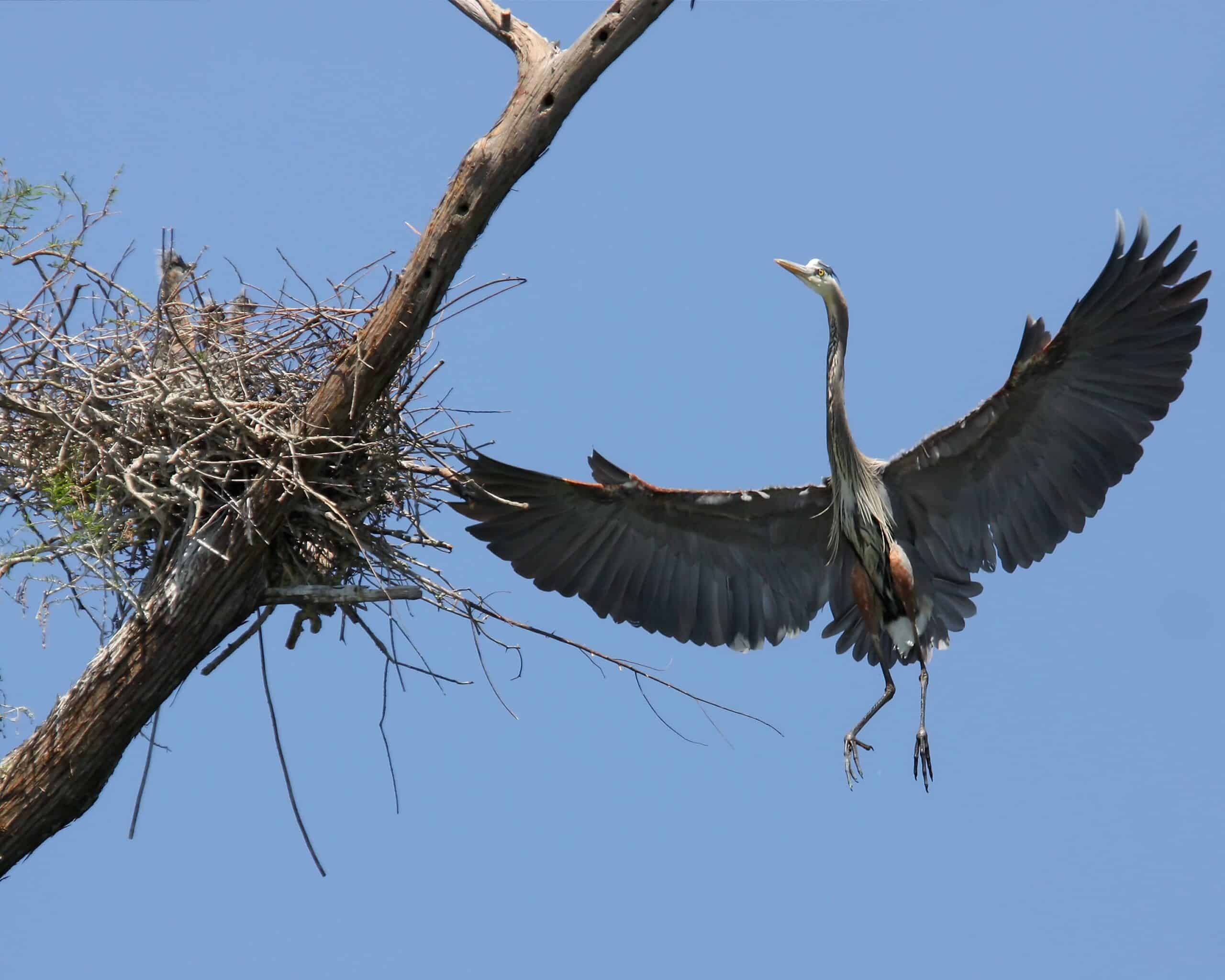
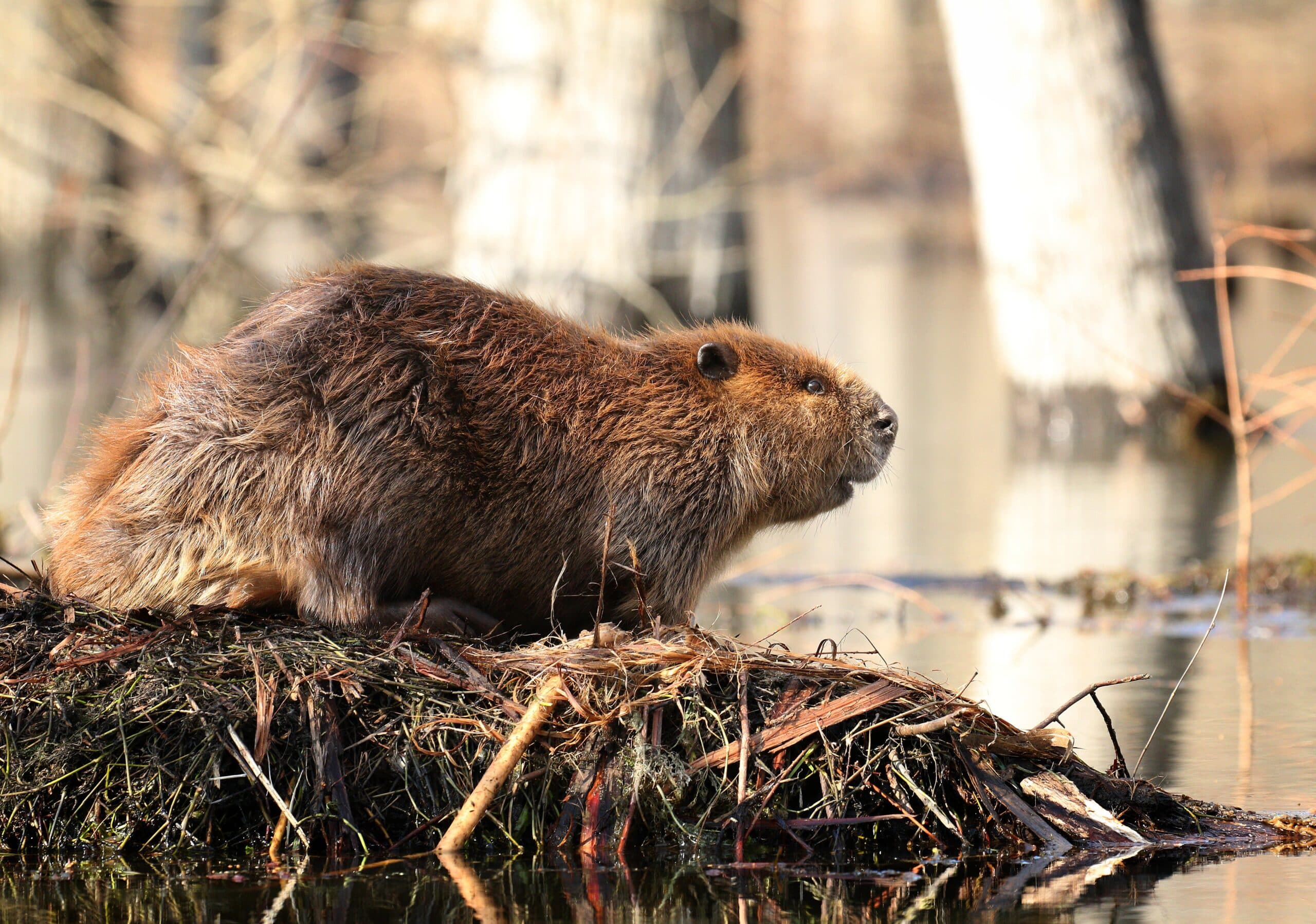
Cypress-tupelo lakes and sloughs provide excellent opportunities to see wildlife. Watch for nesting herons in spring – along with migrating songbirds – and listen for gobbling wild turkeys. This area is rich in reptile and amphibian life, from cottonmouths to harmless water snakes. Listen for booming calls of bullfrogs and the high-pitched chorus of spring peepers, while beavers sun atop lodges. Migrating waterfowl such as mallards, northern shovelers and gadwalls stop during their travels as well.
Fluctuating water does not provide a stable environment for most fish, although tolerant fish such as carp, bowfin, gar and buffalo are common in Grassy Lake. Nearby Palarm Creek is a good place to catch crappie and catfish. Lake Conway also offers crappie, catfish, largemouth bass, bluegill and redear sunfish.
Bowhunting for deer and squirrel hunting are popular on the WMA along with other small game, turkey and waterfowl. Boating hours are limited during waterfowl seasons. Furbearer trapping is permissible on the WMA. Check the current Arkansas Hunting Guidebook for details and wear hunter orange when appropriate. Leash pets for their safety.
According to Arkansas law, children 12 and under must wear a Coast Guard-approved life jacket, and anyone on a boat must have one ready to use. Vessels 16 feet and longer must have a throwable life preserver (type IV) aboard. Glass containers are illegal in boats such as canoes that can be easily swamped. Paddlers must securely fasten cooler lids, use attached litter containers and use floating holders for beverages.