White County
Hurricane Lake WMA Water Trails
Quick Facts
- Download the free Avenza Map app from the App Store on mobile device.
- Choose a trail and tap on the geo-referenced map.
- Tap on the map again and choose “Open in Avenza Maps” or choose “More” and tap on the Avenza Map icon.
- Map is saved in Avenza Map app.
- A blue dot marks your location on the map.
- The trail map uses the phone’s GPS. If cell reception is poor, put phone on airplane mode to conserve power.
- Download the free Avenza Map app from the App Store on mobile device.
- Choose a trail and tap on the geo-referenced map.
- Tap on the three dots in the upper-right corner.
- Choose “Send File” and tap the Avenza Map icon.
- Map is saved in Avenza Map app.
- A blue dot marks your location on the map.
- The trail map uses the phone’s GPS. If cell reception is poor, put phone on airplane mode to conserve power.
Water Level
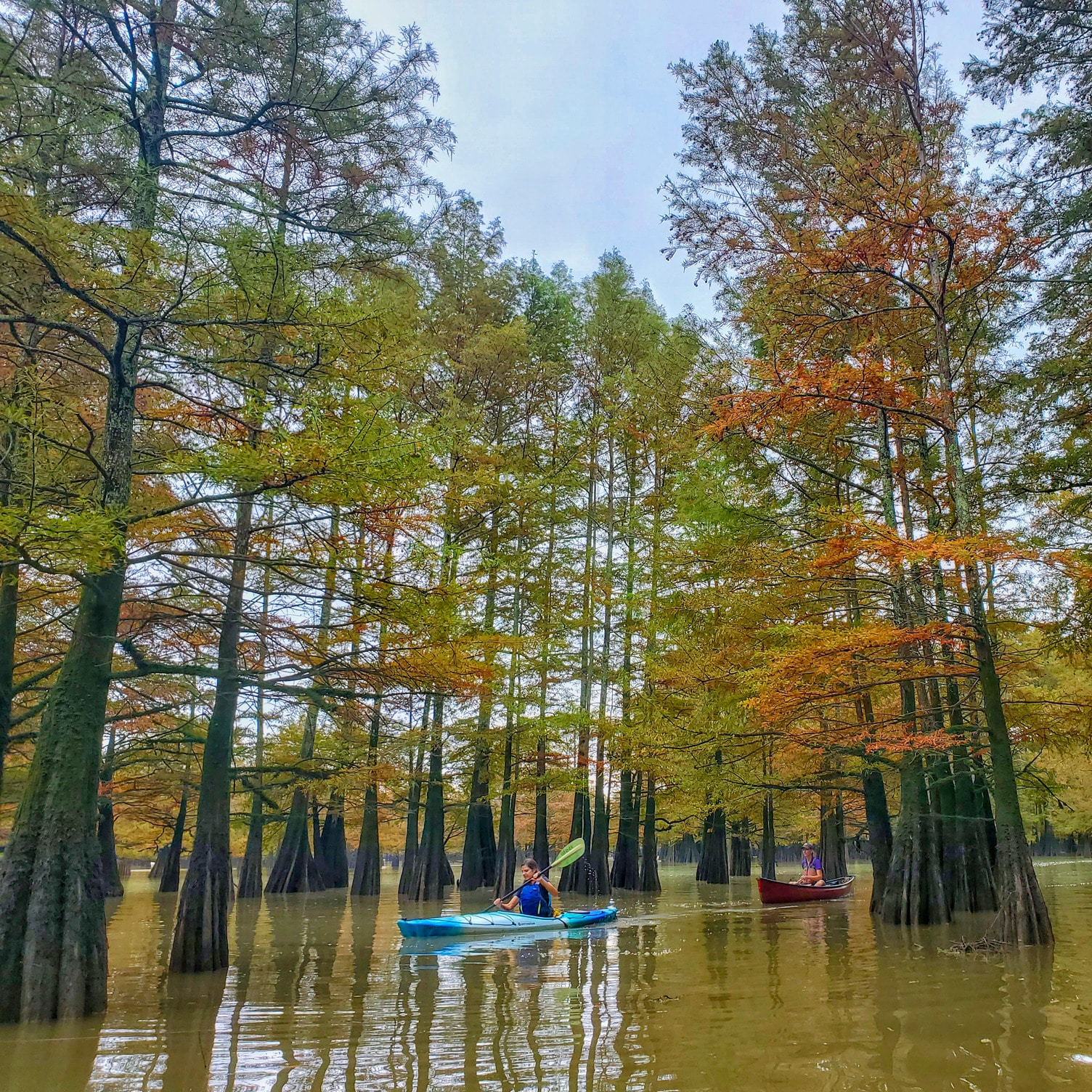
The water level in Hurricane Lake WMA fluctuates and offers year round and seasonal paddling opportunities. Click here to check the water level. The WMA’s roads are prone to seasonal flooding. Learn more here: https://www.agfc.com/hunting/deer/flood-prone-zones/
Water Trail Distances
Bollie Pond to Mitchell Corner: 4.7 miles
Bollie Pond to Big Hurricane: 3.7 miles
Mitchell Corner to Lower Grassy Mound: 4 miles
Little Red Virtual Trail: 1.2 miles
River Conditions
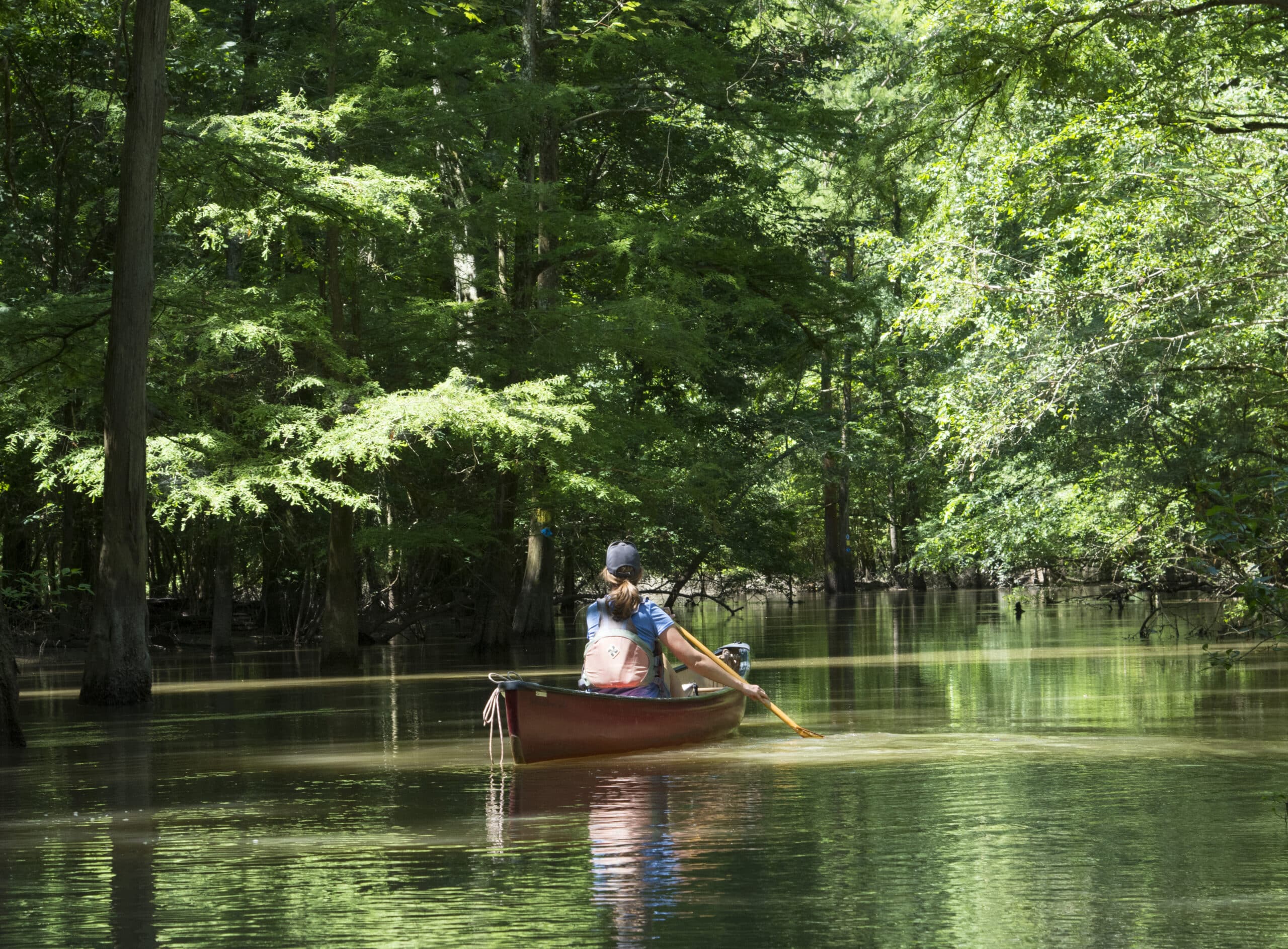
A portage from Bollie Pond to Glaise Creek in necessary during low water. Mitchell Corner south to Grassy Mound can be paddled at optimum water. Paddle out and back from Mitchell Corner in low water. The area’s many oxbow lakes and Glaise Creek offer year round paddling.
Reflective signs mark the Upper Glaise Creek and Grassy Mound water trails. For backup and to follow the Little Red River Virtual Trail, download a geo-referenced map of the trails for mobile devices.
Caution
Avoid the area south of Grassy Mound during high wind due to stands of dead timber.
Avoid treacherous conditions near water control structures.
Don’t Get a Ticket
According to Arkansas law, children 12 and under must wear a Coast Guard-approved life jacket, and anyone on a boat must have one ready to use. Vessels 16 feet and longer must have a throwable life preserver (type IV) aboard. Glass containers are illegal in boats such as canoes that can be easily swamped. Paddlers must securely fasten cooler lids, use attached litter containers and use floating holders for beverages.
Emergency Numbers
White County EMS
911
White County Sheriff
501-279-6279
AGFC Brinkley Office
501-235-3464
AGFC Game Warden
833-356-0824
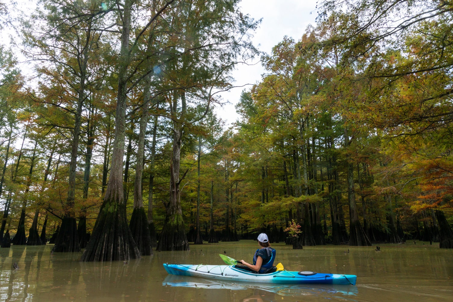
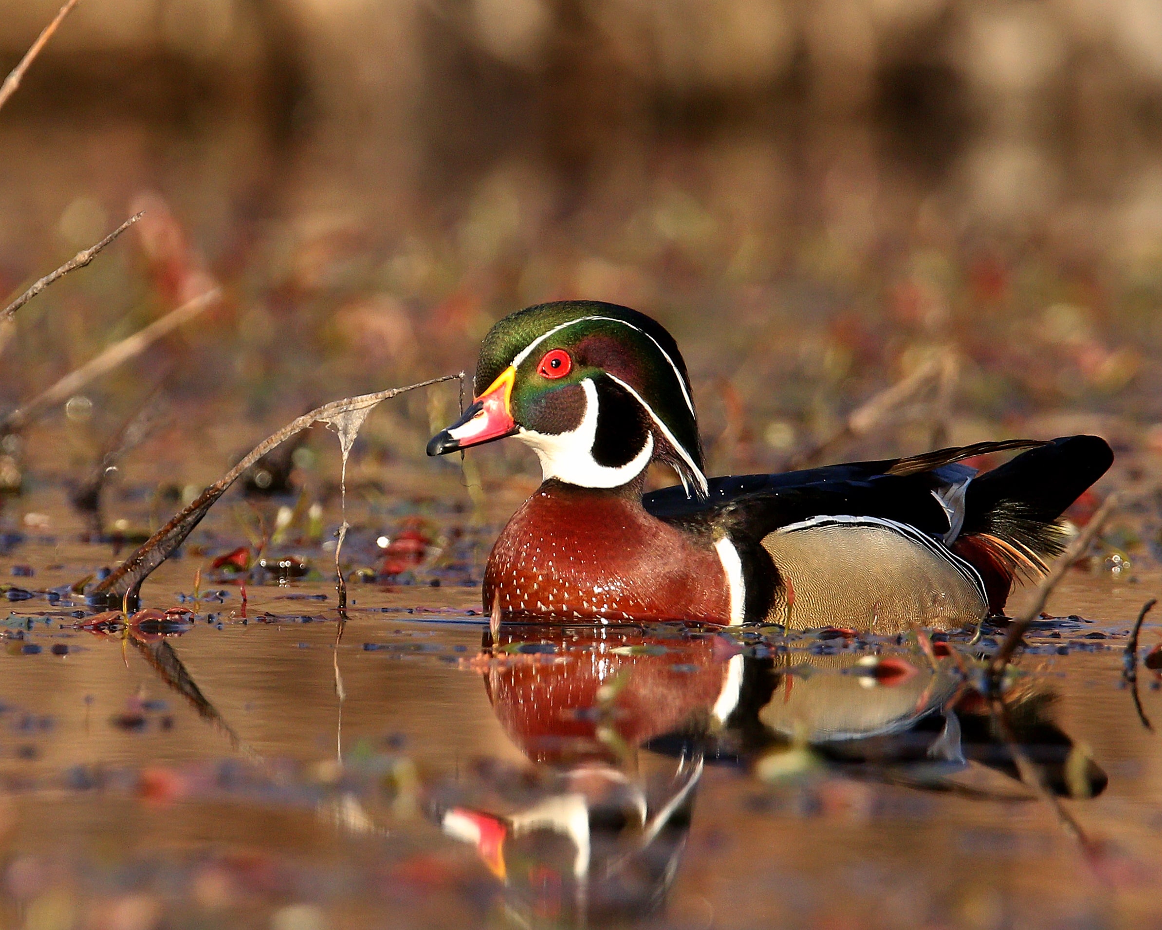
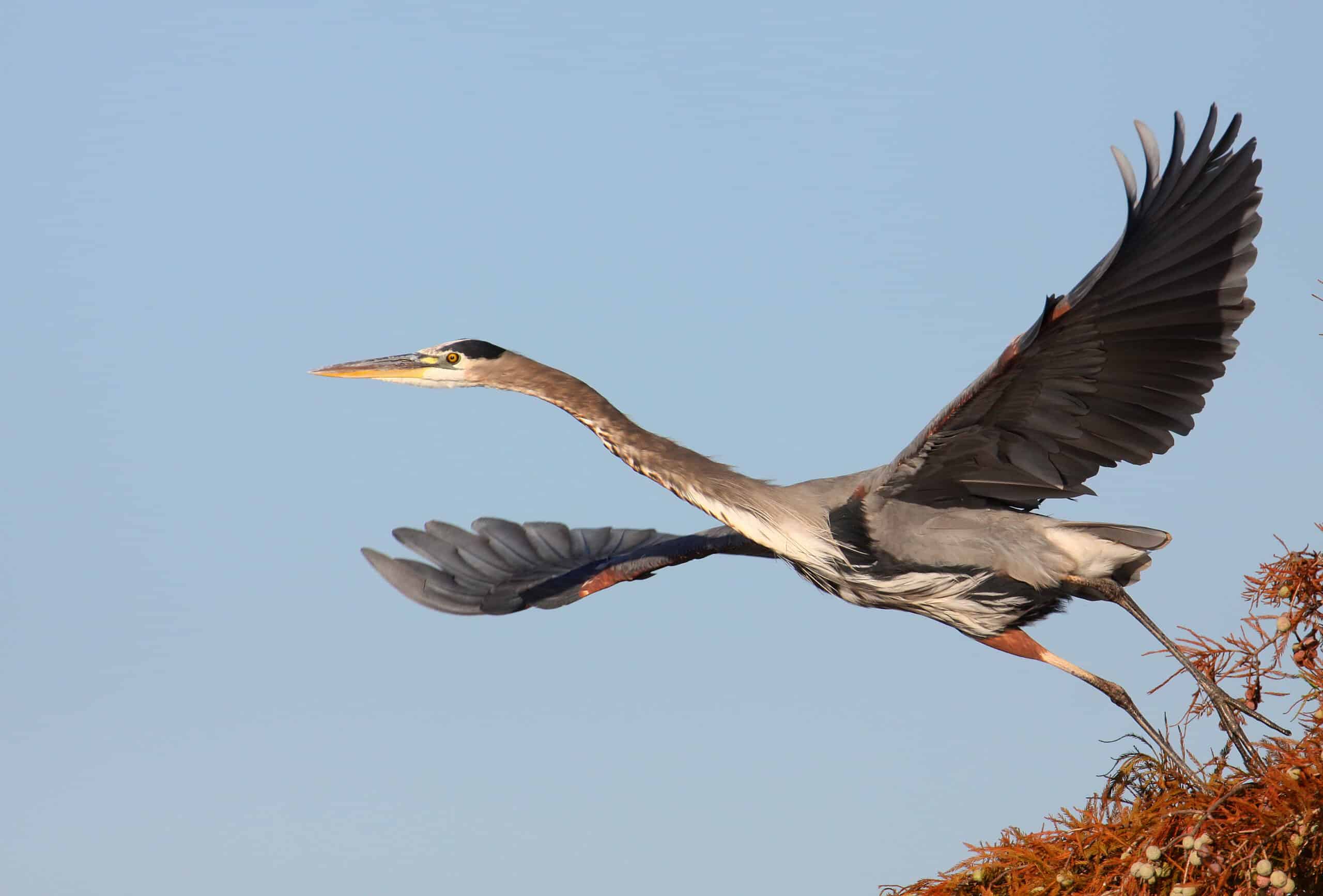
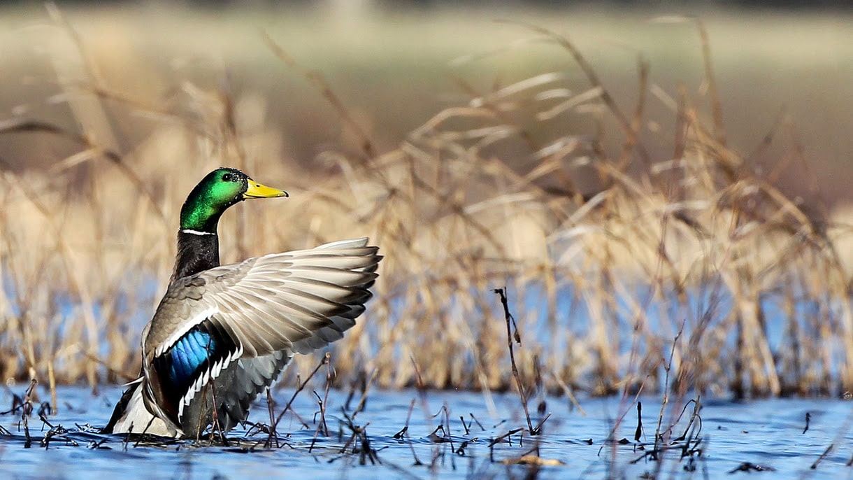
Henry Gray Hurricane Lake WMA’s 17,000 acres are bound by the White River to the east while the Little Red River curves along its southern unit. Bottomland hardwood habitat hosts an array of waterfowl – wood ducks, mallards, gadwalls and teal. Woodpeckers, from the downy to the pileated, thrive in the area along with wading birds such as little blue and great blue herons. Watch for mink, raccoon, beaver and white-tailed deer as they travel and feed along the water.
Excessive flooding in the last decade, siltation and aging water control structures allowed water to sit on the area for extended periods of time and damage timber. Land managers are at work to improve habitat conditions for wildlife on the area.
Anglers pursue black bass, crappie and bream in Glaise Creek and 11 fishable lakes scattered across the area. The White and Little Red rivers offer opportunities to trotline and net fish for buffalo along with channel and flathead catfish.
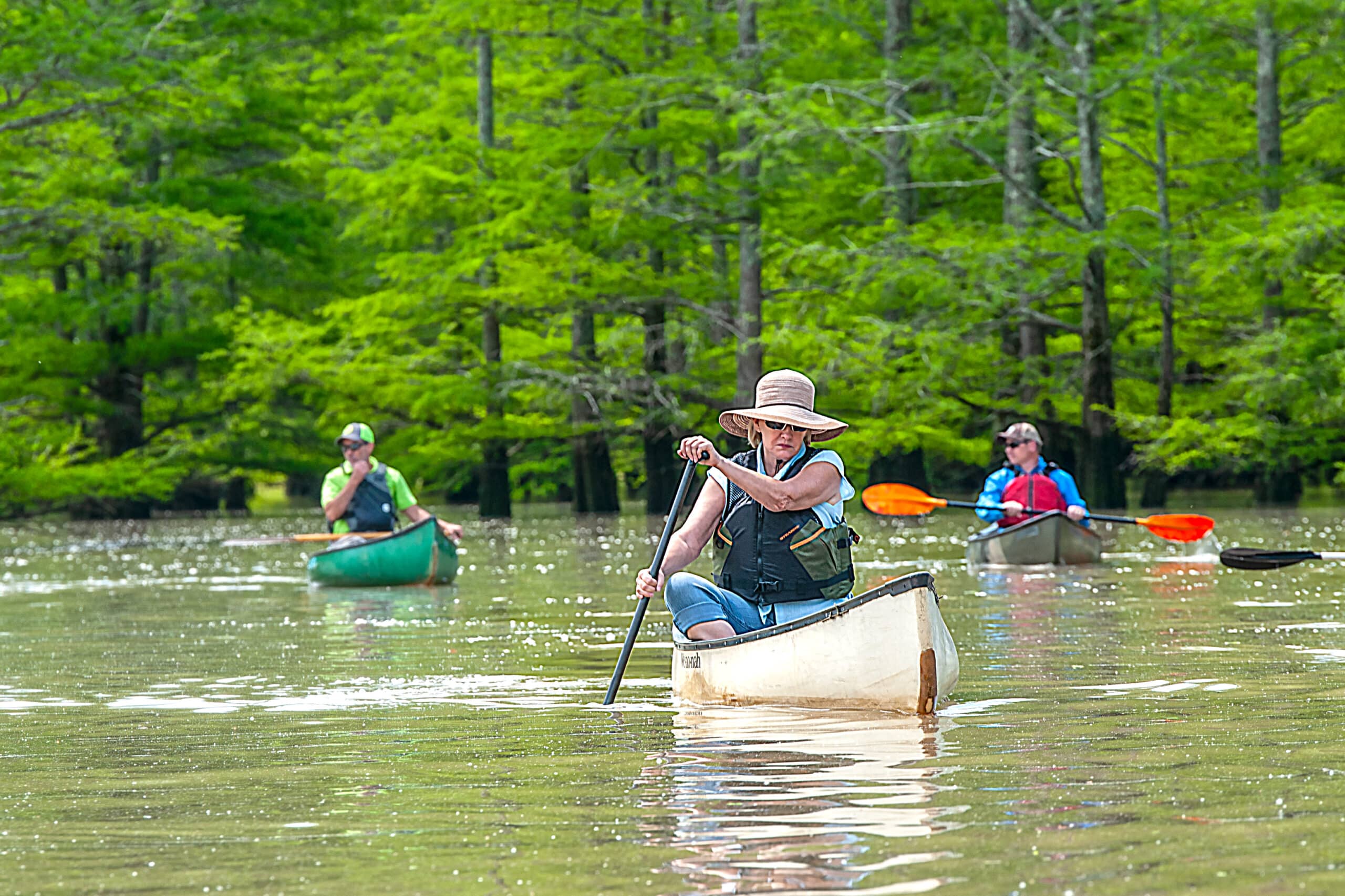
Waterfowl hunting is popular during fall and winter. Paddlers should wait until after shooting hours (mid-day) to take to the water during waterfowl season. Hunters also pursue deer and small game on the WMA. Furbearer trapping is permissible on the WMA. Check the current Arkansas Hunting Guidebook (https://www.agfc.com/wma/henry-gray-hurricane-lake-wma/) for details and wear hunter orange when appropriate. Leash pets for their safety.
Thirty-five, first-come, first-served campsites available on the WMA. These sites are marked by signs or trees ringed by blue paint: Bollie Pond, along the entrance road, headquarters, Three Sister Lake, along Glaise Creek, Honey Lake, Whirl Lake, Big Bell Lake, Big Hurricane Lake, Willow Pond, White River, Holland Beach, Red Rivers Boat Ramp, Mud Pond Slough, Mallard Pond, Nimmow Access Area, Cypertês Bluff, Spanish Grant, Deep Bank Slough and Georgetown Access Area.