New Lake Maumelle loop trail offers birds, blooms and bank fishing
ON 10-27-2021
Oct. 27, 2021
Randy Zellers
Assistant Chief of Communications
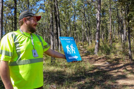
LITTLE ROCK — A new loop in the trail system around Lake Maumelle in central Arkansas will take visitors on a tour of scenic views among the open forests of the Ouachita foothills. The 2.3-mile Bufflehead Bay trail was completed this fall, and is sure to be a favorite among bird-watchers and other conservationists looking for a secluded adventure without the long drive to a remote destination.
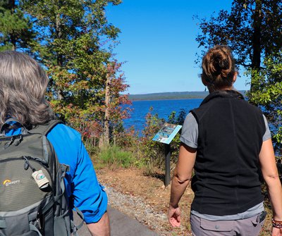
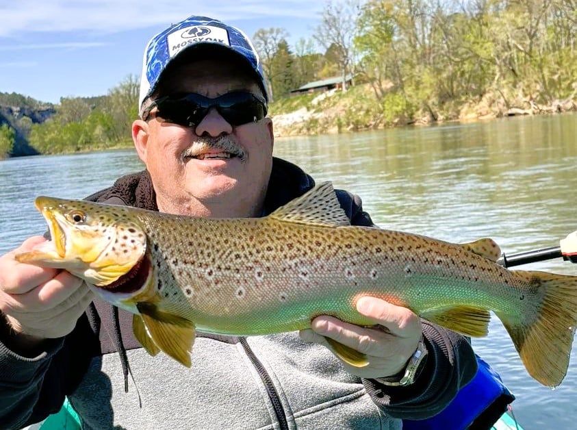
The trail sprouts from the end of the previous Bufflehead Bay spur just west of Westrock Landing on Highway 10, at about the midsection of the lake. Casual walkers will find the first half-mile section an enjoyable jaunt on a paved path alongside the waterfront with benches set every hundred yards for people to bring along a rod and reel and enjoy some fishing in the marina bay. But the true beauty lies just off the paved roads, where a short day hike awaits.
“You’ll cross through hardwoods and mixed hardwood/pine forests along the path, which winds along the south shore of the lake, then climb up to an open, savannah habitat that’s been maintained by thinning and prescribed fire,” Bartlow said.
The managed open portion of the forest is filled with showy flowers from spring until fall that produce heavy amounts of seeds for birds ranging from eastern wild turkey to American goldfinch.
“Many species of goldenrod, bee balm and blazing star bloom throughout the trail,” Ben Thesing, natural resource specialist for Central Arkansas Water, said. “All of which has taken off recently with the use of controlled burns and is really beneficial to pollinator species.”
Bartlow says the project was the culmination of many partners pitching in with their knowledge, expertise and funding.
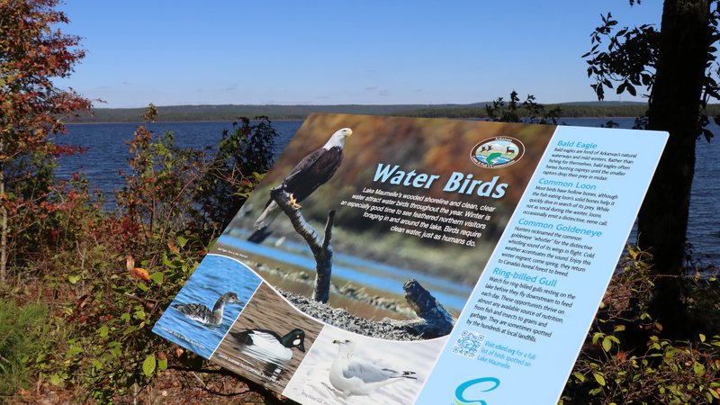
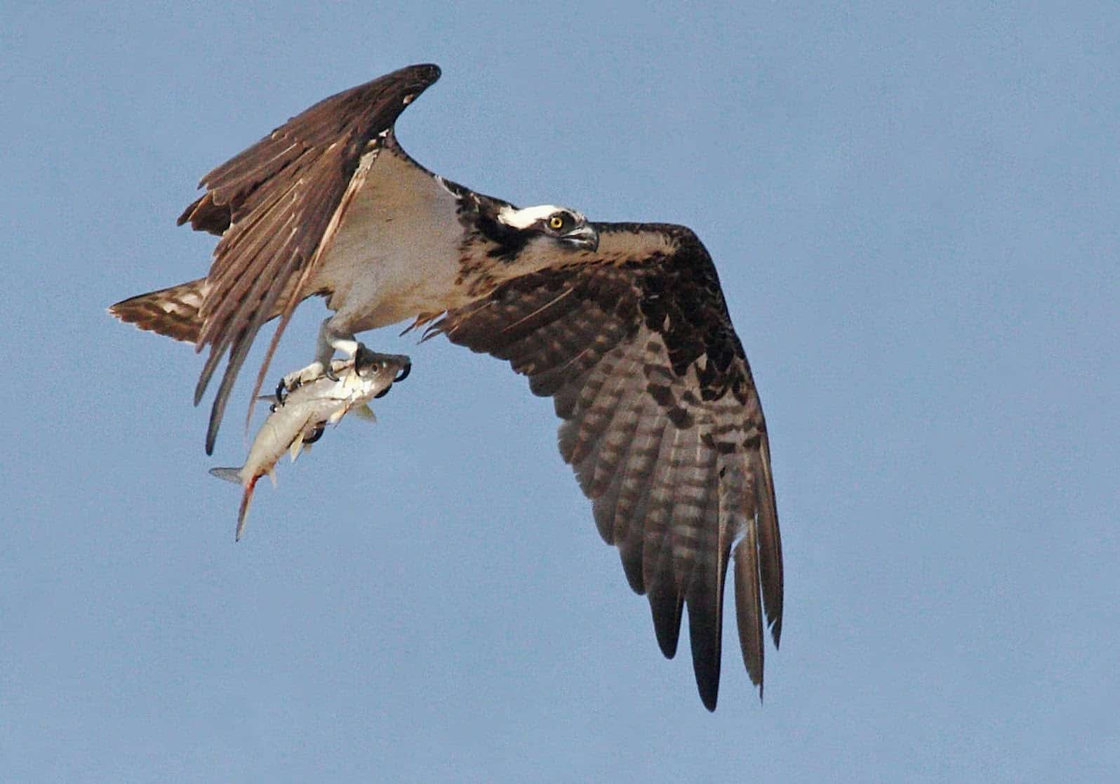
“The first stage of the Bufflehead Bay Trail was built in 2014 as one of the wildlife observation trail grants developed with money from gas lease revenue to the AGFC,” Bartlow said. “The Audubon Society of Central Arkansas also built a small platform near the water at the end of the previous trail to encourage more use from birdwatchers. Winter is a great time to see migratory waterfowl, bald eagles and loons. This round of enhancements, called on other partners.”
Bartlow said CAW and the AGFC have been working together throughout the project, but also called on staff from The Nature Conservancy to design the trail, one of their areas of expertise.
“We wanted a loop trail that was a family-friendly distance , and TNC developed a plan,” Bartlow said. “They laid the trail out using a topographical map to make best use of the terrain, then came out and flagged where the trail would be developed.”
Bartlow says development of trails is much more involved than simply mapping out a path. Improperly planned trails can be washed out by rain or increase runoff.
“The folks at TNC designed and helped build a really nice, sustainable trail. They also helped coordinate a very hard working group of men from the Arkansas Department of Corrections Benton Unit work release program. Thanks to this crew, we built the trail in about a week’s time. We also had a group of volunteers from the Ozark Society’s Pulaski Chapter put in a hard day’s work on the trail,” Bartlow said.
Hikers will see many examples of this trail design at the trail’s climbing turns along elevation changes. Rocks and brush are gathered at the corners of these turns to prevent people from cutting the corner and carving a new path.
“You see that a lot at popular trails where people cut through,” Thesing said. “Some local trails have cuts that are like ruts a foot deep where the traffic and runoff combined to make a mess.”
Bartlow and Thesing say the extension is just one of many enhancements made to the area surrounding Lake Maumelle in recent years. Another trail to the west of Bufflehead Bay, named Farkleberry Trail, offers a one-mile, out-and-back hike with views of the lake as well as access to bank angling.
“There’s also a park at Vista Point just before where Highway 10 crosses the lake on its west end, which has a trailhead for the Ouachita Trail, which runs on the north side of the lake, crosses at Highway 10 and continues through the Ouachita Mountains,” Thesing said. “The west end of the lake past the Highway 10 Bridge is open to canoes and kayaks, and a water trail has been established there at the Sleepy Hollow Access. And we’ve done a lot of work to the Bringle Creek Access upstream of the lake for anglers and hikers with some more improvements planned to that trail.”
Visitors are reminded that trails on Lake Maumelle travel through the Maumelle River Wildlife Management Area, which does have some portions of land open to small game hunting with a shotgun and archery deer hunting during open seasons. Wearing blaze orange or other brightly colored clothing during fall is recommended.
Visit https://www.agfc.com/en/explore-outdoors/wildlife-viewing/nature-trails/lake-maumelle-nature-trails/ for more information about the Lake Maumelle Nature trails.
Recent News
Arkansas Wildlife Weekly Fishing Report
Apr. 18, 2024
Subscribe to Our Weekly Newsletter E-mails
Don’t miss another issue. Sign up now to receive the AGFC Wildlife Weekly Newsletter in your mailbox every Wednesday afternoon (Waterfowl Reports are published weekly during waterfowl season and periodically outside the season). Fishing Reports arrive on Thursdays. Fill in the following fields and hit submit. Thanks, and welcome!